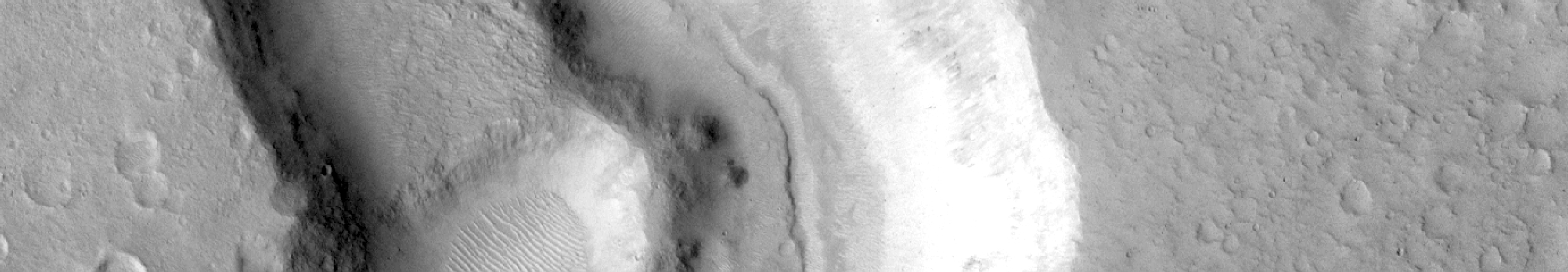
Portfolio item number 1
Short description of portfolio item number 1

Short description of portfolio item number 1
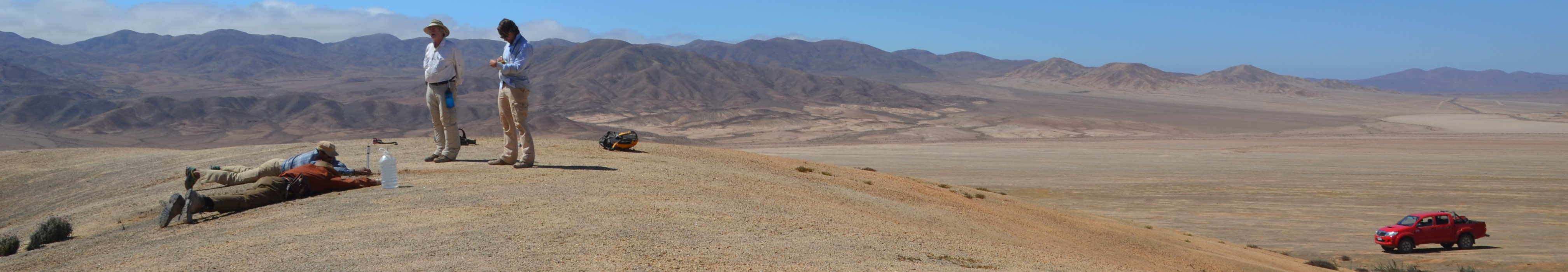
Short description of portfolio item number 2
Published in Journal 1, 2009
This paper is about the number 1. The number 2 is left for future work.
Recommended citation: Your Name, You. (2009). "Paper Title Number 1." Journal 1. 1(1). http://academicpages.github.io/files/paper1.pdf
Published in Journal 1, 2010
This paper is about the number 2. The number 3 is left for future work.
Recommended citation: Your Name, You. (2010). "Paper Title Number 2." Journal 1. 1(2). http://academicpages.github.io/files/paper2.pdf
Published in Journal 1, 2015
This paper is about the number 3. The number 4 is left for future work.
Recommended citation: Your Name, You. (2015). "Paper Title Number 3." Journal 1. 1(3). http://academicpages.github.io/files/paper3.pdf
Published in 1 , 2017
Published in 1 , 2021
Published in 1 , 2021
Published in 1 , 2021
Published in 1 , 2021
Published in 1 , 2022
Published in 1 , 2023
Published in 1 , 2024
Published in 1 , 2024
Published in 1 , 2024

Published in , 2014
Published in , 2014
Published in , 2017
Published in , 2019
Published in , 2021
Published in , 2021
Published in , 2022
Published in , 2023
Published test:
This is a description of your talk, which is a markdown files that can be all markdown-ified like any other post. Yay markdown!
Published test:
Published test:
Published test:
This is a description of your conference proceedings talk, note the different field in type. You can put anything in this field.
Undergraduate course, Environmental Sciences,
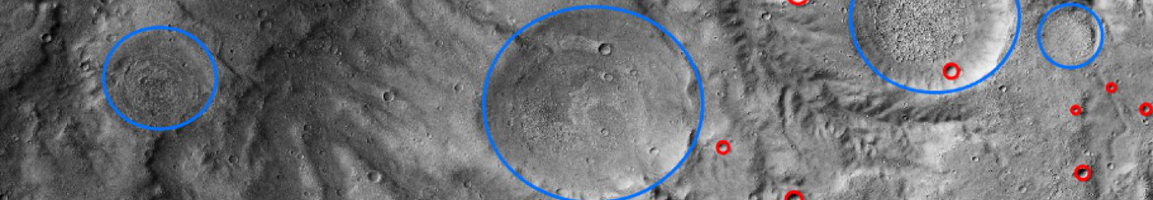
I designed this course to introduce undergraduates to both the observational and the quantitiative exploration of rocky bodies across the Solar System. Students utilize spacecraft data from repositories such as the Planetary Data System to investigate volcanism, tectonism, gradation, and impact cratering across multiple terrestrial planets and moons. The curriculum progresses from surface age estimation via crater size-frequency distributions and the kinematic modeling of volcanic plumes to the calculation of interior properties using isostatic and lithospheric flexure models. These analytical methods culminate in photogeologic mapping exercises where students construct stratigraphic columns and evaluate proposed Mars rover landing sites using multispectral and topographic datasets. The course concludes by applying physical principles to the structural limits of small porous bodies and the orbital mechanics governing planetary tides and satellite stability.
Mini-course, Center for Earth and Planetary Studies Summer Intern Program, National Air and Space Museum,
This six-part applied GIS mini-course was designed as an introduction for Smithsonian interns who either had not taken a GIS class before or needed a refresher before beginning their projects. Although the interns were primarily working on planetary science research, I felt that it was important for them to learn about how GIS is utilized in real-world settings, and selected a topic of particular local interest: the 2016 and 2018 floods in Ellicott City, MD, just north of Washington DC. The mini-course is a six part series that emphasizes data organization and management. Students begin by learning abbout coordinate reference systems, to the creation and manipulation of vectors, to raster analysis. Each unit applies a new method for understanding what happened in Ellicott City, why the historic district is prone to flooding, and what measures can be taken to prevent future disasters. Ultimately, the course framework treats GIS as a rigorous quantitative environment for evaluating physical Earth systems, environmental risk, and the spatial distribution of infrastructure vulnerability.
Published in Location 3, 2014
This is a description of your conference proceedings talk, note the different field in type. You can put anything in this field.
Published in Location 1, 2020
This is the first travel
Published in Location 2, 2024