Global mapping of martian valley networks
Role: PI
Team: Tim Goudge (UT Austin), Sharon Wilson (Smithsonian), Amanda Rudolph (Smithsonian)
Funding: NASA PDART

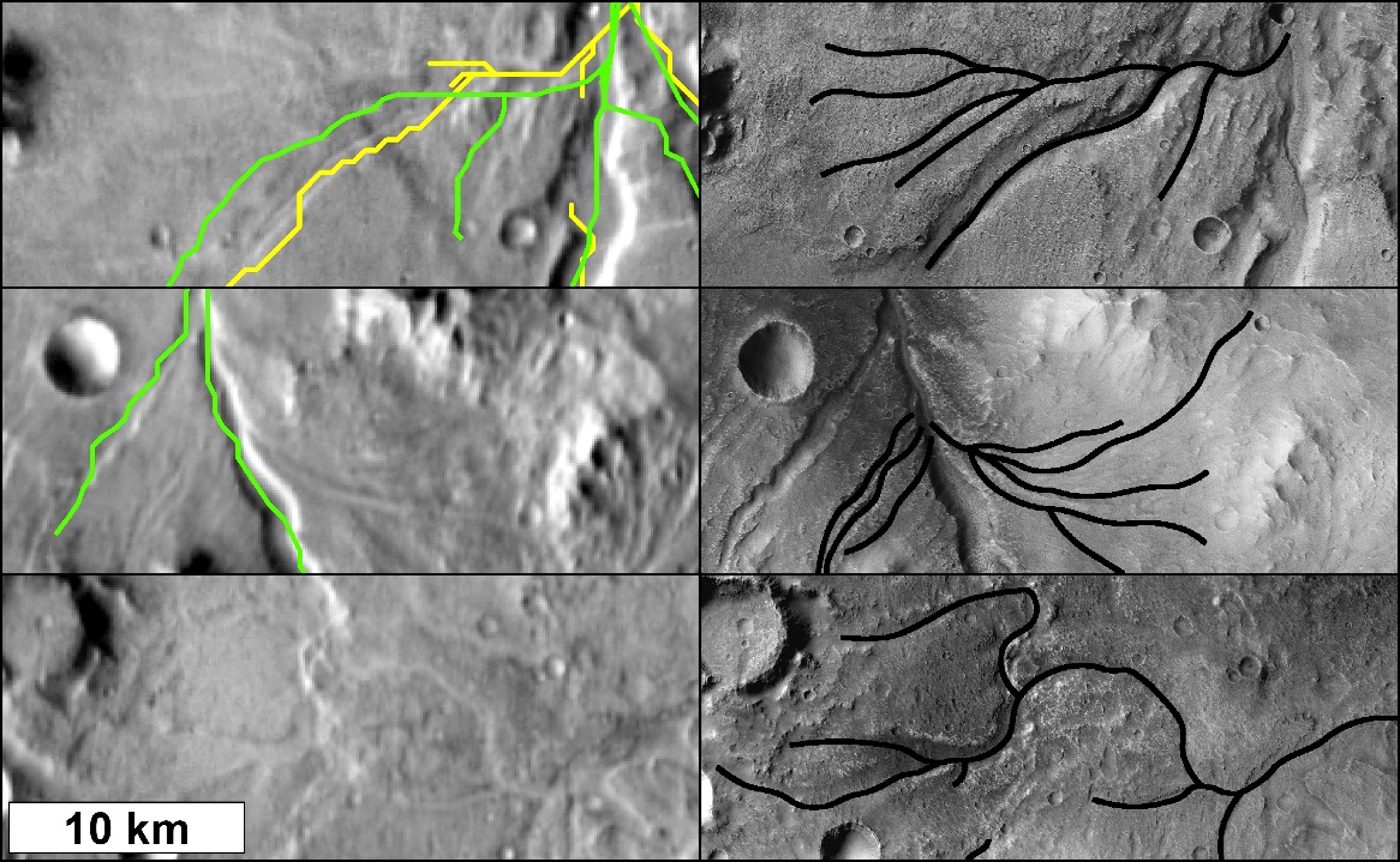
Branching valley systems are compelling evidence for an early Mars that was, at least periodically, able to sustain liquid water on or near the surface. Global maps of valley network distribution underlie many studies that seek to explain Mars’ climatic, tectonic, geochemical, and hydrologic evolution. Limitations in data coverage and resolution resulted in the omission of valleys and (or) erroneous mapping of non-fluvial features in these databases. This introduces significant uncertainty into the conclusions of past studies that are based on these datasets. Images from the Context Camera (CTX) on the Mars Reconnaissance Orbiter spacecraft offer increased resolution (6 m/pixel) and coverage (over 97% of the martian surface), sufficient for a basemap that substantially improves the ability to document the distribution of valleys on Mars.
The goal of this work is to produce a global database of martian valleys using the much-improved resolution of CTX image data. We will map valleys using a CTX image basemap supplemented with MOLA, HRSC, and THEMIS data. We will assign quantitative and qualitative geographic and geometric metrics to the new valley map, and will archive the data as PDS4-compliant vector files so that the new dataset can be readily utilized by the Mars science community.
This data product will be of wide applicability to ongoing studies of Mars, such as assessing the output of climate models, characterizing past erosion rates, and evaluating the contrasting hypotheses of warm-and-wet versus cold-and-icy models of early Mars. We plan for a final product that is comparable in its scope and use to the USGS National Hydrogeography Database (nhd.usgs.gov). Updating the global dataset requires geologic interpretation of surface features and geologic units, but is not hypothesis driven, and thus falls within the scope of the PDART program.
